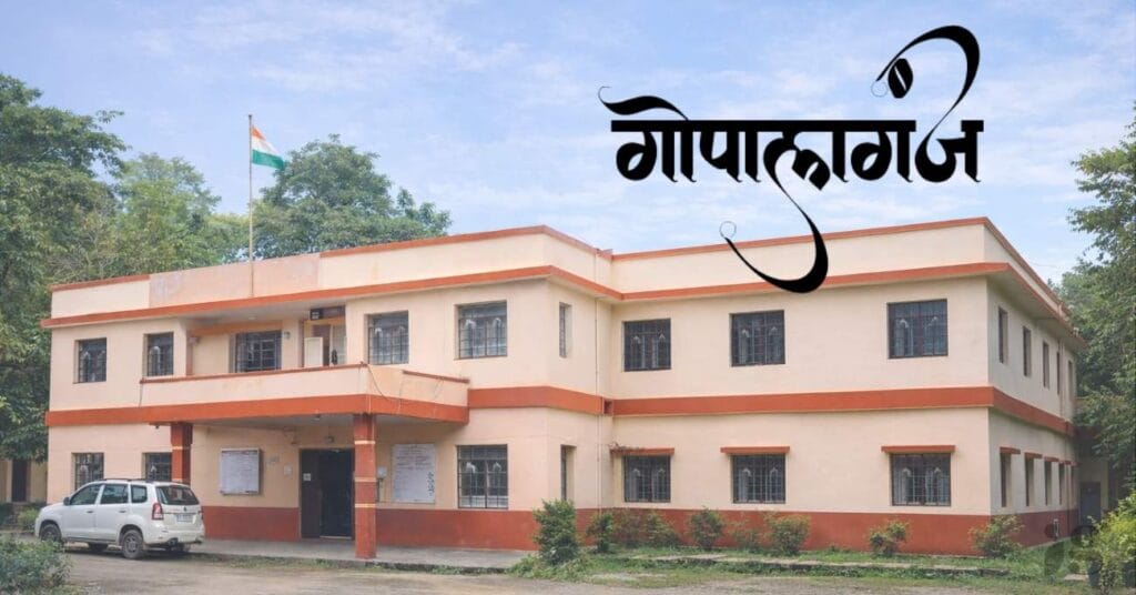
Gopalganj Zila is an important district of Bihar. Read complete information about Gopalganj Zila including location, history, population, map, administration, and development in easy English.
Gopalganj Zila – Complete District Information”
Gopalganj Zila is an important district of Bihar state in India. The district is known for its agriculture, culture, and growing development. Many people search online about Gopalganj Zila to know its location, history, population, map, and administration. In this article, you will get complete and easy information about Gopalganj Zila in simple English.
Location of Gopalganj Zila
Gopalganj Zila is located in the north-west part of Bihar.
It is close to the Uttar Pradesh border and near Nepal region.
Neighboring districts:
- East: Siwan
- South: Saran
- West: Kushinagar (UP)
- North: Near Nepal area
Because of this location, Gopalganj Zila is important for trade and transport.
History of Gopalganj Zila
Gopalganj district was earlier a part of Saran district.
In 1973, Gopalganj became a separate district.
The region has a long history and is connected with old cultural traditions. Agriculture has always been the main source of income in Gopalganj Zila.
Population of Gopalganj Zila
The population of Gopalganj Zila is around 25 lakh.
Most people live in villages.
Key facts:
- Literacy rate: Around 65%
- Rural population: More than 80%
- Main language: Hindi, Bhojpuri
Administration of Gopalganj Zila
The district is managed by the District Magistrate (DM).
Police administration is handled by the Superintendent of Police (SP).
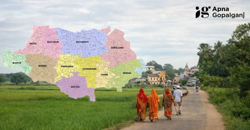
Major blocks:
- Gopalganj Sadar
- Hathua
- Kuchaikote
- Bhore
- Manjha
- Baikunthpur
Gopalganj Zila Map & Area
Gopalganj Zila map shows all blocks, roads, and nearby districts.
The total area of the district is around 2000 square kilometers.
Economy of Gopalganj Zila
Agriculture is the main occupation of people in Gopalganj Zila.
Major crops:
- Rice
- Wheat
- Sugarcane
- Maize
- Potato
Small businesses and government schemes are also helping local people.
Education & Health Facilities Gopalganj District
There are many schools, colleges, and training centers in Gopalganj Zila. Health services include district hospitals and primary health centers.


FAQs – Gopalganj Zila: Gopalganj District Information
Which state is Gopalganj Zila in?
Gopalganj Zila is located in the state of Bihar, India. It lies in the north-western part of Bihar near the Uttar Pradesh border.
What is the population of Gopalganj Zila?
The population of Gopalganj Zila is around 2.5 million. Most people live in rural areas.
When was Gopalganj district formed?
Gopalganj district was formed in the year 1973 after being separated from Saran district.
How many blocks are there in Gopalganj Zila?
There are several blocks in Gopalganj Zila such as Gopalganj Sadar, Hathua, Kuchaikote, Manjha, Bhore, and Baikunthpur.
What is the main occupation in Gopalganj Zila?
Agriculture is the main occupation in Gopalganj Zila. Major crops include rice, wheat, sugarcane, and maize.
Conclusion: Gopalganj District Information
Gopalganj Zila is an important district of Bihar with strong agricultural roots and growing development. It is improving in education, health, and employment. The future of Gopalganj Zila looks positive.